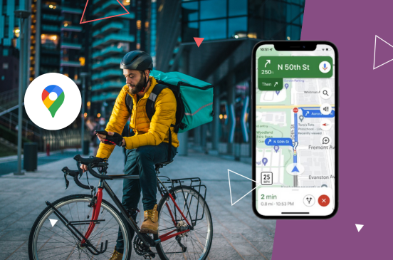
Available through Google’s Geocoding API, the new Navigation Points feature provides the closest navigable location to a specified address.
What exactly are “Navigation Points”?
Instead of simply returning an address or general geocode, Navigation Points identify specific locations and will always be very close to the road network, representing an ideal stopping or starting point for navigating to and from a place. The Navigation Point is intentionally slightly offset from the road’s centerline to mark the side of the road where the place is located.
Why this feature is a game-changer for delivery drivers and couriers
Delivery drivers often encounter challenges when navigating to customers’ locations. Traditional geocodes or addresses might lead to the center of a property or a point on a building’s facade, which isn’t always the best place to arrive. For example:
- A driver delivering to a large apartment complex might be directed to the main road instead of the entrance.
- A courier might reach the center of a retail plaza without clear guidance on which driveway to use.
Navigation Points solve these problems by providing precise, actionable navigation guidance. Here’s how this feature can directly benefit delivery operations:
- Improved delivery efficiency
Navigation Points eliminates guesswork and reduces time spent searching for entrances by guiding drivers to the nearest navigable location. This is especially beneficial in high-density areas where finding the correct entry point can be challenging. - Enhanced customer experience
Faster deliveries mean happier customers. When drivers arrive at the right spot without delays, it reflects positively on the overall service experience. - Reduced fuel and operational costs
Streamlining navigation minimizes unnecessary driving, reducing fuel consumption and wear-and-tear on vehicles. Over time, these savings can significantly impact a business’s bottom line. - Seamless integration with existing tools
Navigation Points integrate seamlessly with other Google Maps Platform services, such as Directions and Routes APIs. This makes it easier to incorporate precise navigation into delivery apps and systems.
How Navigation Points work: a developer’s perspective
Using Navigation Points in the Geocoding API is straightforward. Navigation Points are now included in each Geocoding API request (where available). The response will include navigation point(s) details such as the closest entry point’s latitude, longitude, and type (e.g., street address, premise, etc. ).
For more detailed information and to start integrating Google Maps Platform services into your applications, please contact a member of our team today.


